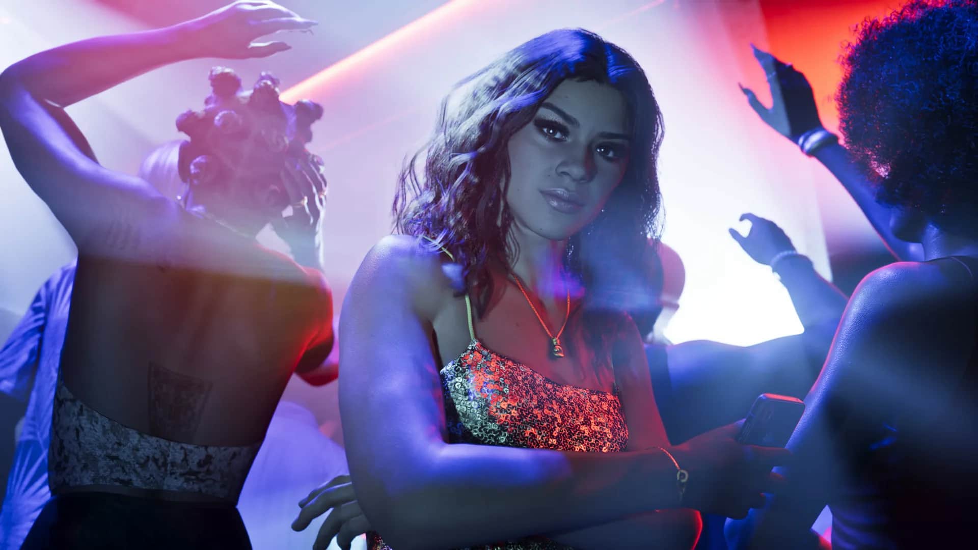
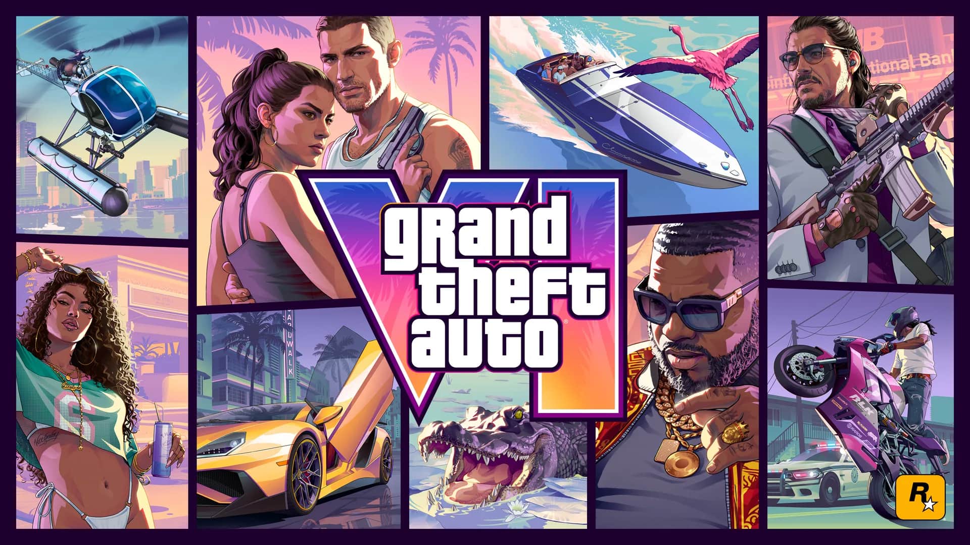
A clean list of every GTA 6 area Rockstar has confirmed across Leonida, separate from fan-made map guesses.
Confirmed Leonida locations
Rockstar describes Leonida as a state extending beyond Vice City. Its official location material names six areas, but it has not published a complete navigable map or boundaries between them.
| Location | What Rockstar's material establishes |
|---|---|
| Vice City | The neon-lit urban center and coastal nightlife hub |
| Leonida Keys | A tropical island chain and waterside region |
| Grassrivers | A wetland region shaped by wildlife and waterways |
| Port Gellhorn | A worn coastal community with motels and local businesses |
| Ambrosia | An industrial area associated with heavy industry and a biker presence |
| Mount Kalaga National Park | A northern wilderness and outdoor recreation area |
Why we do not publish a guessed map size
Trailer landmarks and fan mapping projects can be impressive, but they cannot prove final road geometry, playable boundaries, interiors, or total square mileage. Development builds also change.
This guide will add measured distances and travel times only after the retail map can be explored. Until then, every size number should be labeled as a fan estimate, not a confirmed fact.
What this map hub becomes after launch
The post-launch version will connect location pages to collectibles, safehouses, stores, weapons, vehicles, missions, activities, and fast-travel points. Every marker will include a screenshot and last-tested game version.
Frequently asked questions
Is Vice City the whole GTA 6 map?
No. Rockstar says the story stretches across Leonida and has named several regions beyond Vice City.
How big is the GTA 6 map?
Rockstar has not provided an official size, and the retail map is not yet available to measure.
Primary sources
We prefer publisher and platform sources over summaries. Open them to check the wording and latest status.
Send the official source and we will review the page. Corrections include a visible update date.
Suggest a correction